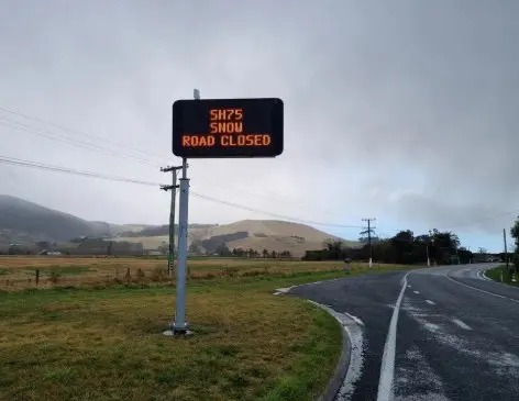
Canterbury drivers are being warned that black ice, not just falling snow, is the next serious road risk after State Highway 75 on Banks Peninsula reopened following Tuesday morning's snow closure.
NZ Transport Agency Waka Kotahi issued a 5pm update on 4 August saying state highways around the South Island were open again after snow fell to low levels, but days of freezing temperatures and icy roads were expected. The agency said the cold air would linger around the central and lower South Island, with temperatures dropping well below zero in many places and ice forming on roads, especially inland and in sheltered spots.
For Christchurch and Banks Peninsula, the most direct local transport issue was SH75. NZTA's bulletin said the highway between Duvauchelle and Little River reopened at 10.30am after a snow closure, but drivers were urged to take extra care. Earlier in the morning, the closure had extended from Duvauchelle to Tai Tapu, before being reduced as conditions changed. Snow was still falling in parts of Canterbury when the 10.30am update was issued.
The Otago Daily Times reported sleet and snow flurries across Canterbury on Tuesday morning, with Christchurch City Council contractors gritting and ploughing Dyers Pass Road and Summit Road as hail, snow and a bitterly cold wind hit the city. Snow settled at the Sign of the Kiwi and in suburbs across Christchurch, while Dyers Pass Road was closed from the Hackthorne Road intersection to Governors Bay, including Summit Road, as contractors cleared the route.
The ODT report also said the road from Little River to Duvauchelle reopened after its morning closure, while several Banks Peninsula roads were closed or affected, including parts of Summit Road, Goughs Bay Road, Hickory Bay, Long Bay Road, Western Valley from Port Levy to Little River, and Purau Port Levy Road. The council asked residents not to drive into the hills to see snow because that could create traffic backlogs and safety problems while contractors were working.
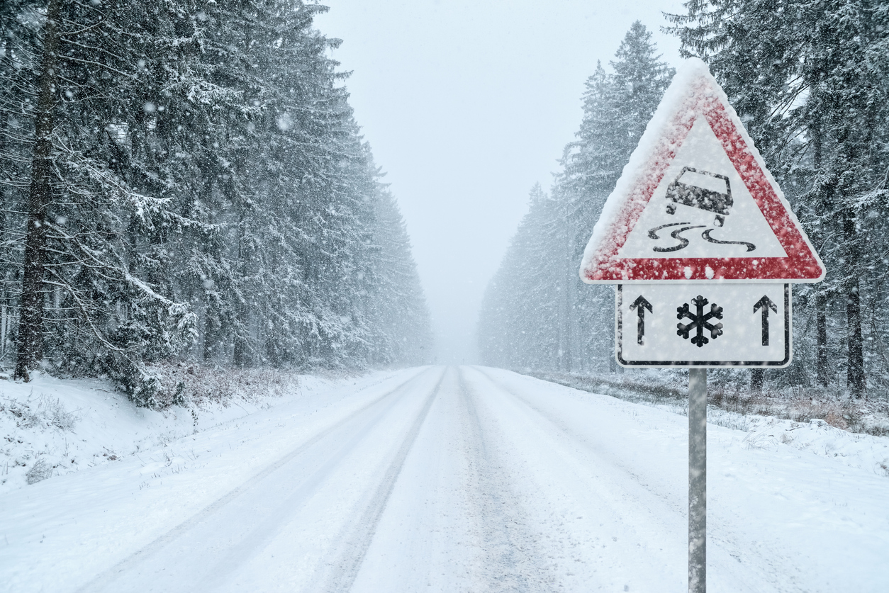
The difference between a closed snow road and an icy open road is important. Once a road reopens, drivers may assume the main danger has passed. NZTA's evening warning says that is not the case. Black ice is difficult to see because it can look like a wet or dark patch of road, and it is most likely late at night or early in the morning when temperatures have dropped.
The advice is practical rather than dramatic: reduce speed, increase following distances, avoid sudden braking or sharp steering, and delay travel where conditions are poor. NZTA said contractors would be laying grit or anti-icing agents on state highways to reduce the risk, but that work does not remove the need for caution from drivers.
This article is a clear update to the weather warnings already visible on Christchurch Bulletin because it focuses on the 4 August reopening and the evening ice risk, not simply the earlier forecast that snow and gales were coming. The source material supports a narrow public-interest message: Canterbury's snow disruption may have eased, but the road danger can last into the colder nights that follow.
For anyone travelling between Christchurch, Banks Peninsula, Selwyn, North Canterbury or further south, the safest plan is to check current highway conditions before leaving and treat early-morning roads as winter roads even where they are officially open. The open sign means a route is passable. It does not mean every shaded bend, hill road or bridge surface is safe at normal speed.