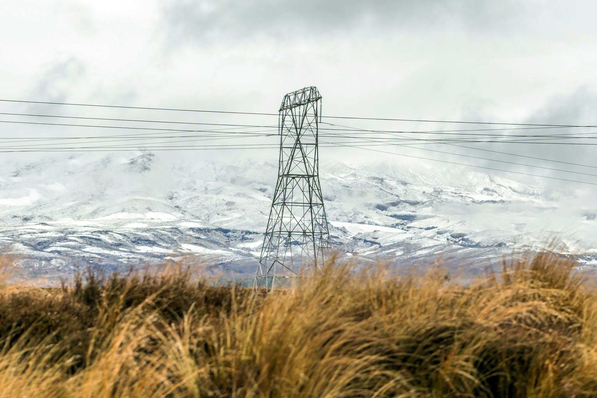
Christchurch drivers and hill-country travellers were being urged to treat Friday night and early Saturday as a genuine winter-risk window, with severe southwesterly gales and lowering snow forecast across Canterbury.
Chris Lynch Media reported on Friday afternoon that a bitter cold change was moving across the region, with snow expected to lower to about 400 metres in parts of Canterbury and strong winds affecting Christchurch, Banks Peninsula and the plains. The report said the wind chill could make conditions feel several degrees colder than the thermometer suggested, with improvement expected from Saturday morning and a frosty Sunday morning possible.
MetService warnings and watches placed the local risk in a practical frame. Christchurch and Banks Peninsula were under a strong-wind watch for Friday evening into early Saturday, with southwesterlies potentially approaching severe gale in exposed places. Canterbury high country warnings pointed to snow affecting elevated routes, while wider road advice warned that snow could lower further as the cold air settled in.
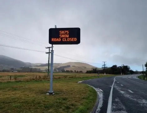
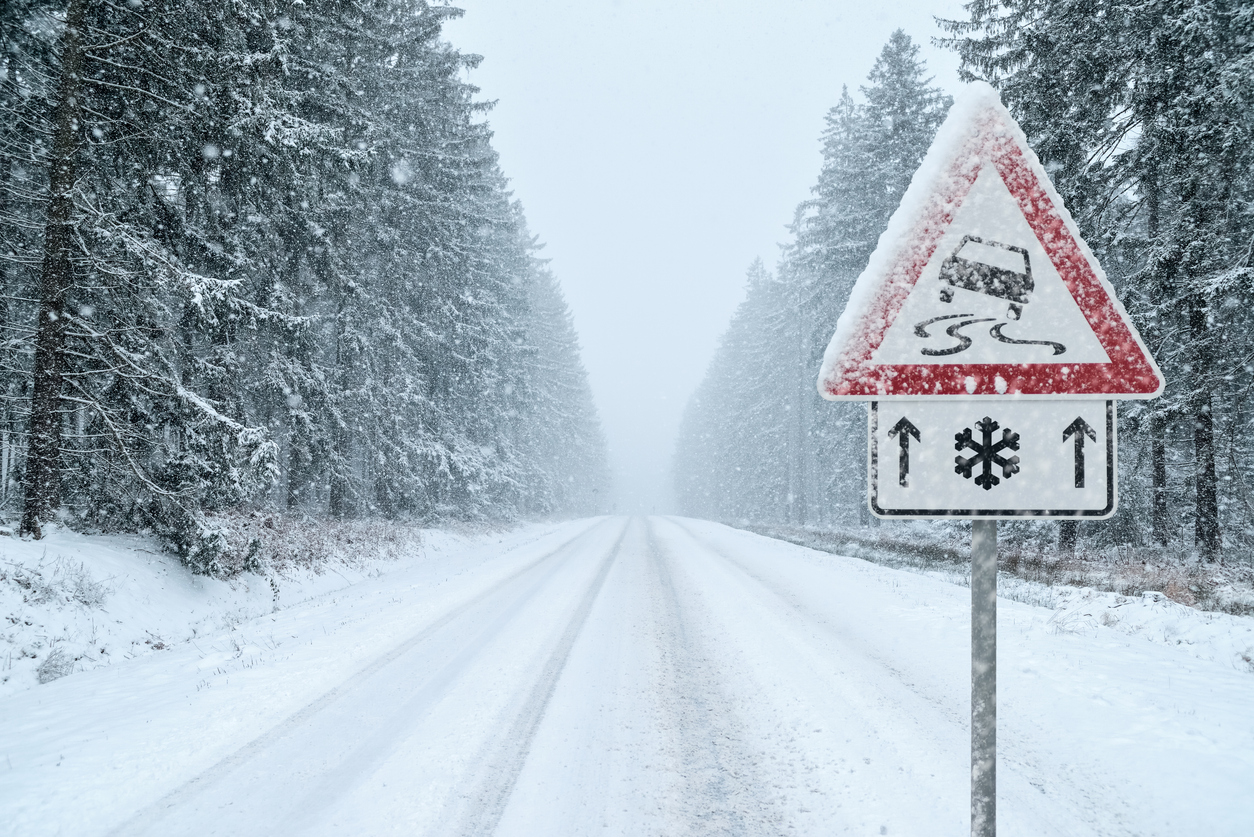
NZ Transport Agency Waka Kotahi had already warned motorists before the change that Canterbury alpine passes could be affected, including SH73 Arthur's Pass and SH7 Lewis Pass. Its advice was direct: people travelling in winter conditions should carry warm clothing, food and water, reduce speed, increase following distances and avoid sudden braking or sharp steering. Those instructions are basic, but they are also the difference between a manageable trip and a stranded vehicle when snow, ice and wind arrive together.
The weather story overlaps with reports of vehicles becoming stuck as heavy snow closed Lewis Pass, but the Christchurch angle is broader. Even when central-city streets do not see settling snow, severe gales around Banks Peninsula and the eastern plains can affect high-sided vehicles, motorcyclists, cyclists and exposed rural roads. Heavy rain followed by cold temperatures can also leave surface water, slush or ice in places where drivers are not expecting it.
For households, the Friday timing is awkward. Evening sport, hospitality shifts, airport trips, rural commutes and weekend travel all run into the same period when visibility, temperature and road surfaces are deteriorating. People leaving Christchurch for Hanmer Springs, the West Coast, inland Canterbury or hill suburbs need to check the latest road status before departure rather than relying on morning conditions.
There is also a simple preparedness point for urban residents. Strong wind can bring down branches, move bins, damage unsecured outdoor items and create localised power issues. People in exposed parts of Christchurch and Banks Peninsula should secure loose items, keep phones charged and avoid unnecessary travel through known wind corridors if conditions worsen.
Weather stories can become repetitive in winter, but this one is worth carrying because several hazards overlap: snow, wind, cold, wind chill and alpine-route disruption. Any one of those can be manageable; together they raise the chance of mistakes. A driver who would normally push through light snow may not be prepared for gale-force gusts or rapid icing after dark.
The safest summary is to avoid non-essential travel in affected areas during the warning period, check MetService and NZTA updates before leaving, and give road crews and emergency services room to work. Conditions were expected to improve over the weekend, but Friday night still carried enough risk for Christchurch and Canterbury residents to plan around it rather than react late.