Canterbury Weather Updates is warning that a colder Friday change could bring squally showers, hail, sleet, thunder and possible low-elevation snow to parts of the region, giving Christchurch and Canterbury residents a few days to plan around a sharper winter turn.
The public Canterbury Weather Updates page on Tuesday night showed a road snowfall warning for Friday 31 July, updated at 8.30pm on 28 July. Its public forecast discussion said high pressure would continue into Wednesday, with fine and frosty weather for eastern areas and a slight temperature lift under nor-westerlies. It then pointed to more Tasman activity on Thursday, rain about the Main Divide and Canterbury headwaters, higher-level snow and stronger nor-westerlies about the high country.
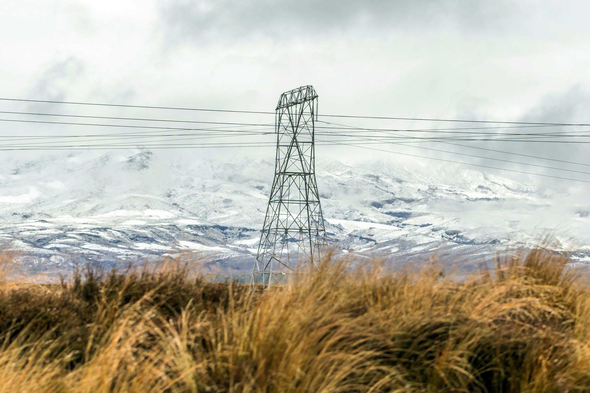
The main change is forecast for Friday. CWU said colder west to south-westerlies look set to bring scattered squally showers, hail, sleet, thunder and possibly snow to low elevations. It also said more frequent southerly outbreaks may bring periods of rain, low-level snow and potentially heavy snowfall across parts of Canterbury in the first half of August. That longer-range signal should be treated cautiously, but the immediate Friday risk is specific enough for residents and road users to watch.
MetService's Christchurch page was also checked during research and showed no warnings in place for Christchurch Central at that time. That is important context. A local forecast discussion and a national warning page can sit at different levels of certainty and geography. Residents should use the CWU outlook as an early heads-up while still checking MetService, council, Waka Kotahi and local road updates closer to travel time.
For Christchurch city, the immediate risk may not be heavy snow in the suburbs. The more likely public impact is a messy winter mix: sudden showers, cold wind, hail, wet roads, reduced visibility and icy starts around the edges of the day. That can affect school runs, cycle commutes, outdoor work, building sites, deliveries and evening sport. Even brief hail or sleet can make roads slick and catch drivers out.
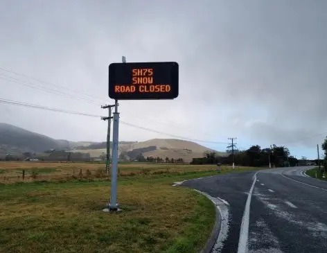
For the wider region, the alpine and foothill implications are more serious. Road snowfall warnings matter for people travelling through passes, heading to ski fields, working farms, moving freight or crossing between Canterbury and the West Coast. A forecast that includes higher-level snow on Thursday and a colder disturbed flow on Friday should prompt early checks of chains, fuel, tyres, travel timing and backup plans.
Farmers and lifestyle-block owners will also read the forecast through animal welfare and access. Cold rain, snow, wind chill and wet ground can create stress for stock, especially in exposed areas. The useful response is practical rather than dramatic: check shelter, water, feed, access tracks and any equipment needed before the weather arrives.
The Tuesday daily highs showed Christchurch, Rolleston, Lincoln and several nearby centres reaching about 15 degrees, with clear skies and frosts developing overnight. That mild, bright winter day can make the coming change easy to underestimate. Winter systems often feel abrupt in Canterbury because conditions can swing from settled to sharp within 48 hours.
The sensible message is preparation without panic. Keep checking updated forecasts through Wednesday and Thursday, avoid unnecessary alpine travel if warnings strengthen, and treat Friday's roads as potentially changeable. For Christchurch residents, a rain jacket and flexible plans may be enough. For those travelling into the high country or foothills, the forecast deserves closer attention.